wellness
Kurla Locals Guard Secret Nature Walks Tourists Never Discover
Kurla's most devoted walkers have quietly mapped a network of green corridors and creek-side trails that never make the guidebooks, and they'd like to keep it that way.
How we reported this
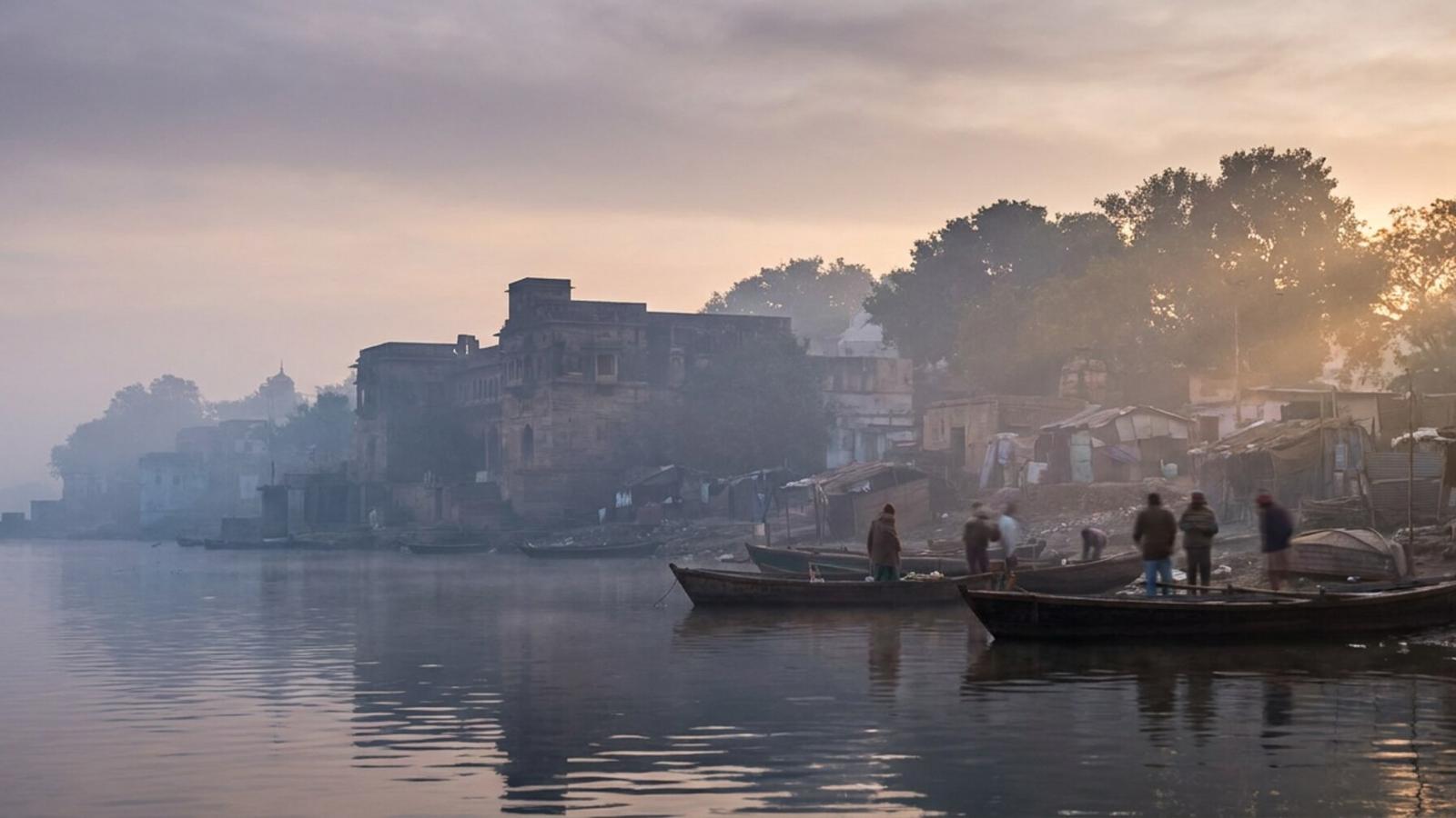
The Instagram posts from Kurla almost always show the same thing: the Eastern Express Highway overpass, the LBS Marg shopping strip, the bustle around Kurla terminus. What they almost never show is the 3.2-kilometre loop trail behind the Mithi River embankment near Nehru Nagar that residents have been walking before sunrise for years. Early morning, the path belongs entirely to locals.
That gap between what outsiders see and what residents actually use matters more now than it did twelve months ago. Urban wellness researchers tracking foot traffic in dense residential zones have noted a sharp post-pandemic rise in what they call "micro-nature engagement", short, repeated contact with greenery, water, or tree cover within walking distance of home. For Kurla's roughly 800,000 residents packed into one of Mumbai's most transit-saturated neighbourhoods, the few genuine green corridors that exist carry outsized psychological weight. Losing them to development or neglect is not an abstract concern.
Two spots come up again and again when you talk to the people who actually use them. The first is the stretch of embankment path running south from the Nehru Nagar municipal garden toward the Kurla pumping station on Nehru Nagar Road, a rough but manageable earthen trail shaded by old rain trees. At 6 a.m. on a weekday, you will find retired teachers, teenagers doing laps, and the same four men who have been doing calisthenics on a flat concrete slab there since at least 2019. The Brihanmumbai Municipal Corporation (BMC) technically maintains the outer edge of this stretch under its Mithi River Rejuvenation Project, though locals will tell you the real upkeep is done by a loose coalition of residents who clear plastic weekly without any official title or funding.
The second is less obvious. Between BKC-adjacent Kurla West and the Transit Camp area off Vidyavihar Road, there is a narrow green buffer, locals call it the "parkwadi", planted with neem and gulmohar trees that runs for roughly 400 metres. It is not marked on most maps. The Kurla Sports and Wellness Circle, a neighbourhood group founded in March 2022, runs a free Saturday morning walk program along this stretch, drawing between 25 and 60 participants each week depending on the season. The group has been pushing the ward office for permanent signage and a gravel path since late 2024.
Why These Trails Stay Off the Map
Part of the answer is infrastructure. Neither spot has a formal entry gate, a name board, or a QR code linking to any civic portal. The BMC's official parks directory for L Ward lists six maintained gardens, Nehru Nagar Garden, Tilak Garden, and four smaller pocket parks, but the walking trails between and around them are categorised as "transitional land" rather than recreational space. That classification has kept them off tourism maps and, until recently, off any fitness app's route database.
A 2024 urban greenery audit commissioned by the Mumbai Climate Action Plan estimated that only 38 percent of Mumbai's walkable green edges, defined as any vegetated path of 200 metres or longer, carry formal public-access designation. The rest exist in a legal grey zone that leaves them vulnerable but also, paradoxically, preserves them from the concrete-and-tile renovation projects that have made some official parks feel more like airport terminals than nature spaces.
How to Find Them, and What Comes Next
For anyone wanting to explore before the trails get "discovered" and over-managed, the practical advice is straightforward. Start early, before 7 a.m., especially in July, when the monsoon softens the ground along the Mithi embankment but also clears the air after days of heat. Wear shoes with grip; the earth paths turn slick within an hour of heavy rain. Bring a reusable bag. The informal walkers' ethos in both spots holds that you carry out what you find.
The Kurla Sports and Wellness Circle welcomes new participants at its Saturday walks, which meet at 6:30 a.m. near the Vidyavihar Road bus depot. There is no fee and no registration. The group's next community clean-up walk is scheduled for 19 July 2026. Anyone interested in the longer policy effort, getting these corridors formally recognised and funded, can contact L Ward's assistant commissioner's office at the Kurla municipal building on LBS Marg. The ward's next public consultation on open spaces is listed for August 2026, and the residents who've been walking these paths for years say they plan to show up.