culture
Borivali Residents Uncover Ancient Settlements Shaping Modern Suburb's Identity
Residents draw on the suburb's documented past from multiple ancient settlements and key sites to sustain interest in local history.
How we reported this
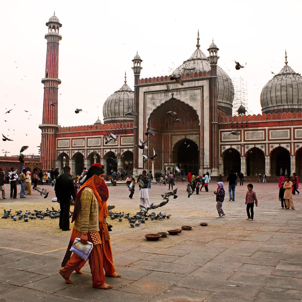
Borivali developed from a conglomerate of smaller ancient villages including Eksar, Poisar, Vazira, Shimpoli, Mandpeshwar, Kanheri, and Gorai, situated between the Dahisar and Poisar rivers. This foundational fact anchors current community attention to the area's layered origins rather than later urban growth.
Why the Village Record Matters Locally
The documented history shows how separate settlements combined over centuries, giving residents tangible points of reference in their immediate surroundings. Groups interested in the past often reference these village names when discussing preservation of open spaces and older landmarks that remain visible today.
Key Sites Grounding Local Interest
The Kanheri Caves within Sanjay Gandhi National Park form one focal point, described as a 2,000-year-old Buddhist monastic complex excavated around the 1st century BC. The Eksar Veergals, hero stones from the 9th-13th centuries CE located near Eksar, provide another reference, depicting naval battles between the Shilahara and Yadava armies. These physical markers allow community members to trace connections across different periods without relying on external narratives.
Strategic Role in Documented Events
The area played a strategic role in the 1739 Battle of Vasai, where Maratha leader Chimaji Appa stationed his troops at Eksar village to fight the Portuguese. This single recorded episode supplies a concrete date that local history discussions can cite when explaining how the villages fit into wider regional movements of the time.
The name Borivali itself likely derives from the abundant 'Borr' (sweet berry) bushes found in the area historically, though it was also recorded as 'Berewlee' under British rule. Community efforts to highlight these details remain qualitative, centred on walking routes that link the named villages and sites rather than organised campaigns with fixed timelines. Residents continue to reference the original village names and the rivers that once defined their boundaries when sharing stories of the suburb's formation.
Further exploration stays tied to the same verified locations, with no new developments announced in the available records.